Access to the cattle
Introduction
The photograph on this page of Access to the cattle by Richard Dorrell as part of the Geograph project.
The Geograph project started in 2005 with the aim of publishing, organising and preserving representative images for every square kilometre of Great Britain, Ireland and the Isle of Man.

There are currently over 7.5m images from over 14,400 individuals and you can help contribute to the project by visiting https://www.geograph.org.uk
Access to the cattle
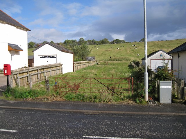
Image: © Richard Dorrell Taken: 28 Sep 2012
A gap between the houses in Mauchline Road, Catrine, provides a way onto the land on which cattle are grazing. However, the gateway has clearly not seen recent use, so there has to be a more convenient route into the pasture.
Images are licensed for reuse under creativecommons.org/licenses/by-sa/2.0
Image Location
Latitude
55.507226
Longitude
-4.33741