Retaining wall, Brook Street
Introduction
The photograph on this page of Retaining wall, Brook Street by Robin Stott as part of the Geograph project.
The Geograph project started in 2005 with the aim of publishing, organising and preserving representative images for every square kilometre of Great Britain, Ireland and the Isle of Man.

There are currently over 7.5m images from over 14,400 individuals and you can help contribute to the project by visiting https://www.geograph.org.uk
Retaining wall, Brook Street
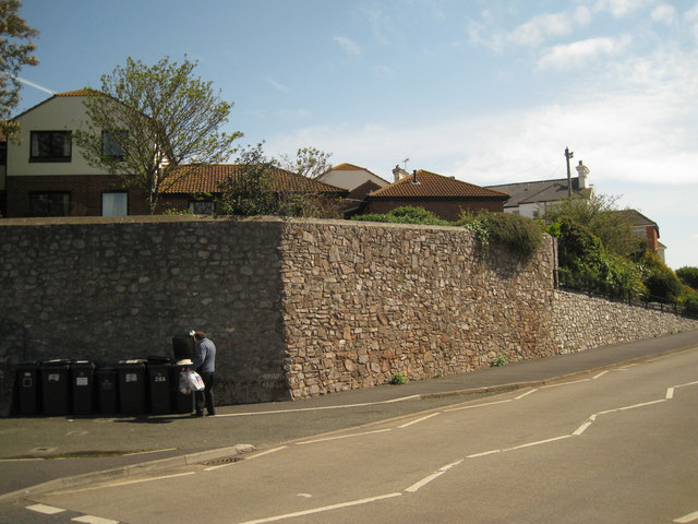
Image: © Robin Stott Taken: 6 May 2012
The residential development above is Alberta Court. The road is part of the one-way Brook Street / Myrtle Hill gyratory.
Images are licensed for reuse under creativecommons.org/licenses/by-sa/2.0
Image Location
Latitude
50.547447
Longitude
-3.493373