Edge of a recreation area and nature reserve, Vancouver Drive, Newport
Introduction
The photograph on this page of Edge of a recreation area and nature reserve, Vancouver Drive, Newport by Jaggery as part of the Geograph project.
The Geograph project started in 2005 with the aim of publishing, organising and preserving representative images for every square kilometre of Great Britain, Ireland and the Isle of Man.

There are currently over 7.5m images from over 14,400 individuals and you can help contribute to the project by visiting https://www.geograph.org.uk
Edge of a recreation area and nature reserve, Vancouver Drive, Newport
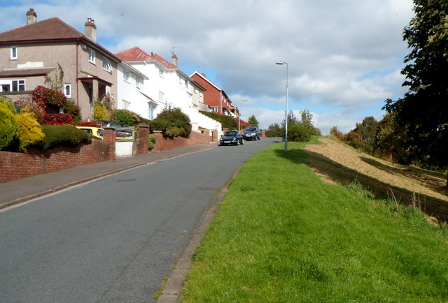
Image: © Jaggery Taken: 29 Sep 2012
The camera is near the end of the houses on this side of Vancouver Drive. Ahead is sloping land leading down to a recreation area and nature conservation area.
Images are licensed for reuse under creativecommons.org/licenses/by-sa/2.0
Image Location
Latitude
51.580594
Longitude
-3.027785