Path to Vancouver Drive, Newport
Introduction
The photograph on this page of Path to Vancouver Drive, Newport by Jaggery as part of the Geograph project.
The Geograph project started in 2005 with the aim of publishing, organising and preserving representative images for every square kilometre of Great Britain, Ireland and the Isle of Man.

There are currently over 7.5m images from over 14,400 individuals and you can help contribute to the project by visiting https://www.geograph.org.uk
Path to Vancouver Drive, Newport
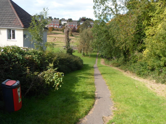
Image: © Jaggery Taken: 29 Sep 2012
Viewed from Bassaleg Road. The path is through a recreation area and nature reserve adjoining the western side of St Woolos Cemetery. The trees on the right are at the cemetery perimeter. The distant houses are in Vancouver Drive.
Images are licensed for reuse under creativecommons.org/licenses/by-sa/2.0
Image Location
Latitude
51.580343
Longitude
-3.025614