Track from Ardencaple Farm
Introduction
The photograph on this page of Track from Ardencaple Farm by Lairich Rig as part of the Geograph project.
The Geograph project started in 2005 with the aim of publishing, organising and preserving representative images for every square kilometre of Great Britain, Ireland and the Isle of Man.

There are currently over 7.5m images from over 14,400 individuals and you can help contribute to the project by visiting https://www.geograph.org.uk
Track from Ardencaple Farm
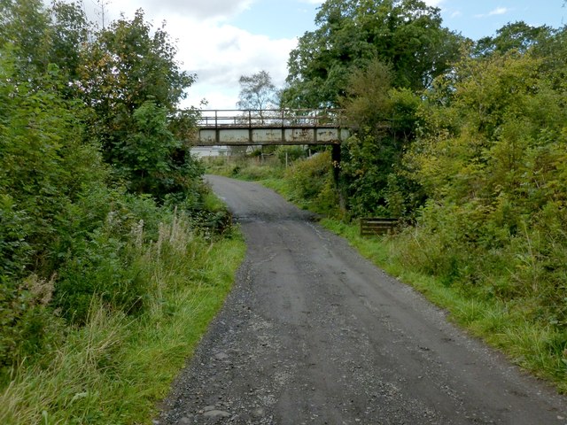
Image: © Lairich Rig Taken: 21 Sep 2012
The bridge carries the West Highland Railway Line above a farm track. For a view in the opposite direction from under that bridge, see Image The farm track is also shown in Image A route to Duchess Wood also follows this part of the farm track, and it reaches Duchess Wood at a point not far beyond the bridge, where a footpath branches off to the right (the start of that footpath is visible in the present photo): Image
Images are licensed for reuse under creativecommons.org/licenses/by-sa/2.0
Image Location
Latitude
56.016324
Longitude
-4.745649