The Kings Arms
Introduction
The photograph on this page of The Kings Arms by Robin Stott as part of the Geograph project.
The Geograph project started in 2005 with the aim of publishing, organising and preserving representative images for every square kilometre of Great Britain, Ireland and the Isle of Man.

There are currently over 7.5m images from over 14,400 individuals and you can help contribute to the project by visiting https://www.geograph.org.uk
The Kings Arms
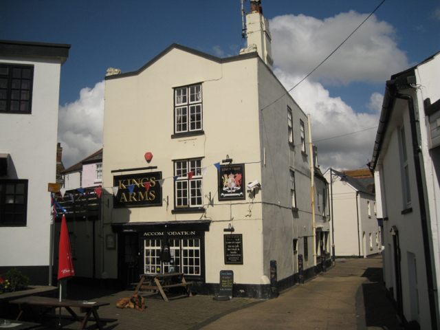
Image: © Robin Stott Taken: 6 May 2012
This public house is at the corner of Regent Gardens and French Street. The floor of the bar is now somewhat below street level.
Images are licensed for reuse under creativecommons.org/licenses/by-sa/2.0
Image Location
Latitude
50.54709
Longitude
-3.493221