Canal at Balk Field
Introduction
The photograph on this page of Canal at Balk Field by Graham Horn as part of the Geograph project.
The Geograph project started in 2005 with the aim of publishing, organising and preserving representative images for every square kilometre of Great Britain, Ireland and the Isle of Man.

There are currently over 7.5m images from over 14,400 individuals and you can help contribute to the project by visiting https://www.geograph.org.uk
Canal at Balk Field
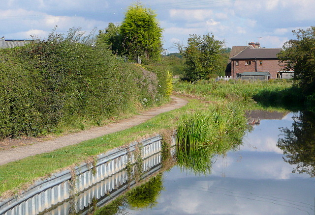
Image: © Graham Horn Taken: 22 Sep 2012
The Chesterfield Canal runs east of Retford into open fields. The estate of Balk Field is to the left, with individual houses to the right.
Images are licensed for reuse under creativecommons.org/licenses/by-sa/2.0
Image Location
Latitude
53.323803
Longitude
-0.928018