Access track to wind turbines
Introduction
The photograph on this page of Access track to wind turbines by Jaggery as part of the Geograph project.
The Geograph project started in 2005 with the aim of publishing, organising and preserving representative images for every square kilometre of Great Britain, Ireland and the Isle of Man.

There are currently over 7.5m images from over 14,400 individuals and you can help contribute to the project by visiting https://www.geograph.org.uk
Access track to wind turbines
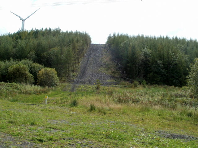
Image: © Jaggery Taken: 4 Sep 2011
Trees have been felled to create the track to wind turbines located on a ridge north of Glynneath.
Images are licensed for reuse under creativecommons.org/licenses/by-sa/2.0
Image Location


Leaflet Map data © OpenStreetMap
Latitude
51.769483
Longitude
-3.646272