Junction of the tracks
Introduction
The photograph on this page of Junction of the tracks by Jonathan Wilkins as part of the Geograph project.
The Geograph project started in 2005 with the aim of publishing, organising and preserving representative images for every square kilometre of Great Britain, Ireland and the Isle of Man.

There are currently over 7.5m images from over 14,400 individuals and you can help contribute to the project by visiting https://www.geograph.org.uk
Junction of the tracks
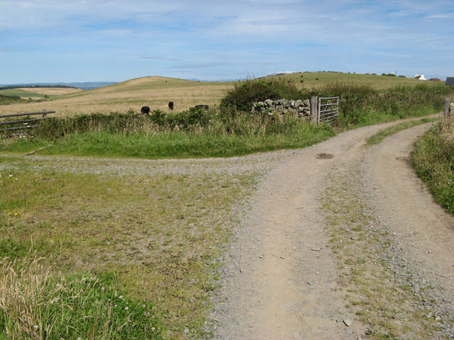
Image: © Jonathan Wilkins Taken: 9 Aug 2012
The way-marked track from Port Logan comes in from the left here, and is signposted towards Cowans. Behind the camera stretches the route to Clanyard and Inshanks, which is the old road.
Images are licensed for reuse under creativecommons.org/licenses/by-sa/2.0
Image Location
Latitude
54.715477
Longitude
-4.952486