Barley Mow Lane, Knaphill
Introduction
The photograph on this page of Barley Mow Lane, Knaphill by Alan Hunt as part of the Geograph project.
The Geograph project started in 2005 with the aim of publishing, organising and preserving representative images for every square kilometre of Great Britain, Ireland and the Isle of Man.

There are currently over 7.5m images from over 14,400 individuals and you can help contribute to the project by visiting https://www.geograph.org.uk
Barley Mow Lane, Knaphill
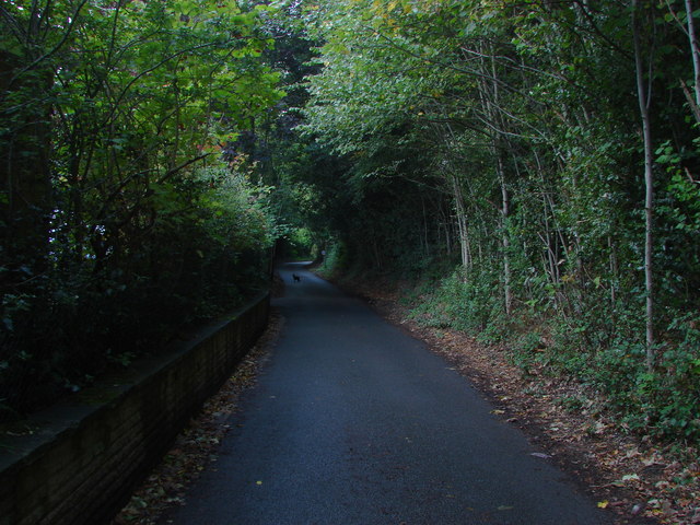
Image: © Alan Hunt Taken: 26 Sep 2012
The narrow road that runs from Anchor Hill to the Chobham Road. It is named after the former Barley Mow Inn, now a private house, that was situated by the junction with Chobham Road.
Images are licensed for reuse under creativecommons.org/licenses/by-sa/2.0
Image Location
Latitude
51.322835
Longitude
-0.617099