Harberton Stream
Introduction
The photograph on this page of Harberton Stream by Derek Harper as part of the Geograph project.
The Geograph project started in 2005 with the aim of publishing, organising and preserving representative images for every square kilometre of Great Britain, Ireland and the Isle of Man.

There are currently over 7.5m images from over 14,400 individuals and you can help contribute to the project by visiting https://www.geograph.org.uk
Harberton Stream
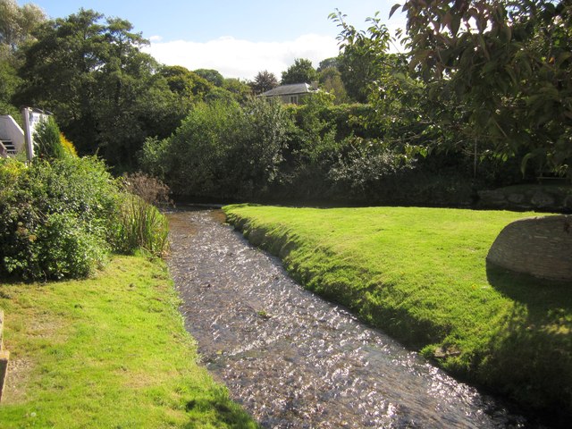
Image: © Derek Harper Taken: 19 Sep 2012
Flowing across the village green shown in Image to join, in the background, the Harbourne River. On the right is one of the stone seats.
Images are licensed for reuse under creativecommons.org/licenses/by-sa/2.0
Image Location
Latitude
50.392811
Longitude
-3.711361