Rough grazing by the Trans Pennine Trail
Introduction
The photograph on this page of Rough grazing by the Trans Pennine Trail by Graham Hogg as part of the Geograph project.
The Geograph project started in 2005 with the aim of publishing, organising and preserving representative images for every square kilometre of Great Britain, Ireland and the Isle of Man.

There are currently over 7.5m images from over 14,400 individuals and you can help contribute to the project by visiting https://www.geograph.org.uk
Rough grazing by the Trans Pennine Trail
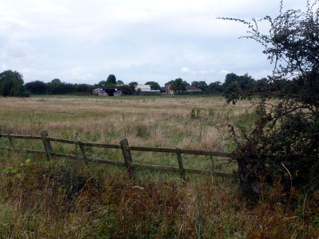
Image: © Graham Hogg Taken: 26 Sep 2012
Looking south west from the Trail towards Hall Villa Lane
Images are licensed for reuse under creativecommons.org/licenses/by-sa/2.0
Image Location
Latitude
53.5687
Longitude
-1.144866