Lane and Footpath to Leeswood-Green Farm
Introduction
The photograph on this page of Lane and Footpath to Leeswood-Green Farm by John S Turner as part of the Geograph project.
The Geograph project started in 2005 with the aim of publishing, organising and preserving representative images for every square kilometre of Great Britain, Ireland and the Isle of Man.

There are currently over 7.5m images from over 14,400 individuals and you can help contribute to the project by visiting https://www.geograph.org.uk
Lane and Footpath to Leeswood-Green Farm
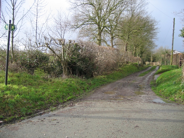
Image: © John S Turner Taken: 17 Jan 2007
The photo is taken from the main road through Leeswood. There is another footpath off to the left here as indicated by the signpost.
Images are licensed for reuse under creativecommons.org/licenses/by-sa/2.0
Image Location


Leaflet Map data © OpenStreetMap
Latitude
53.135687
Longitude
-3.097857