Southern end of Hennoyadd Road, Abercrave
Introduction
The photograph on this page of Southern end of Hennoyadd Road, Abercrave by Jaggery as part of the Geograph project.
The Geograph project started in 2005 with the aim of publishing, organising and preserving representative images for every square kilometre of Great Britain, Ireland and the Isle of Man.

There are currently over 7.5m images from over 14,400 individuals and you can help contribute to the project by visiting https://www.geograph.org.uk
Southern end of Hennoyadd Road, Abercrave
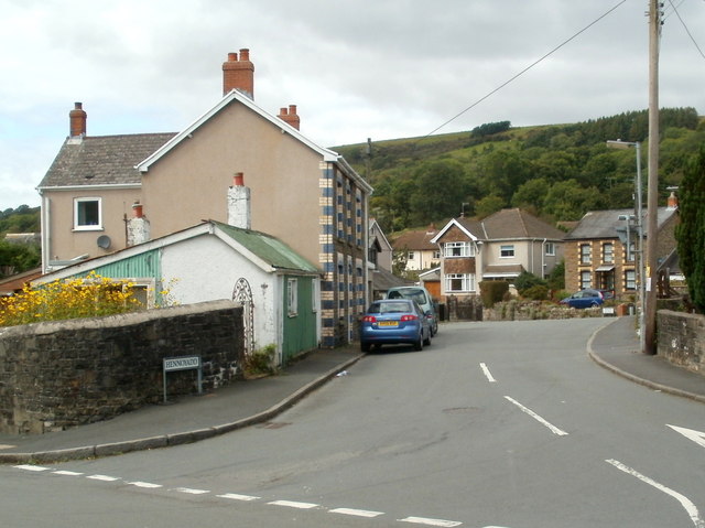
Image: © Jaggery Taken: 29 Aug 2011
Viewed from Heol Tawe. All references I've consulted show the street as Hennoyadd Road whereas the name sign by the wall shows only Hennoyadd. Hennoyadd is an Anglicised form of the Welsh Henneuadd which is the name of a nearby street.
Images are licensed for reuse under creativecommons.org/licenses/by-sa/2.0
Image Location
Latitude
51.799823
Longitude
-3.719022