Coventry Canal: Bedworth Hill Cutting
Introduction
The photograph on this page of Coventry Canal: Bedworth Hill Cutting by Nigel Cox as part of the Geograph project.
The Geograph project started in 2005 with the aim of publishing, organising and preserving representative images for every square kilometre of Great Britain, Ireland and the Isle of Man.

There are currently over 7.5m images from over 14,400 individuals and you can help contribute to the project by visiting https://www.geograph.org.uk
Coventry Canal: Bedworth Hill Cutting
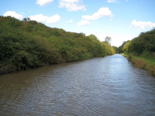
Image: © Nigel Cox Taken: 11 Sep 2012
A vast amount of soil and rock must have been excavated in the 1780s to create this straight cutting through Bedworth Hill. Both banks have been colonized by dense impenetrable thorn scrub making it a most inhospitable place. Centenary Way, celebrating 100 years of Warwickshire County Council, follows the towpath on the right here.
Images are licensed for reuse under creativecommons.org/licenses/by-sa/2.0
Image Location


Leaflet Map data © OpenStreetMap
Latitude
52.474389
Longitude
-1.46009