Bus Shelter at Stryt-cae-Rhedyn
Introduction
The photograph on this page of Bus Shelter at Stryt-cae-Rhedyn by John S Turner as part of the Geograph project.
The Geograph project started in 2005 with the aim of publishing, organising and preserving representative images for every square kilometre of Great Britain, Ireland and the Isle of Man.

There are currently over 7.5m images from over 14,400 individuals and you can help contribute to the project by visiting https://www.geograph.org.uk
Bus Shelter at Stryt-cae-Rhedyn
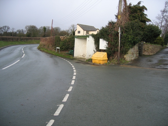
Image: © John S Turner Taken: 17 Jan 2007
The bus shelter is at the north of Leeswood where the road becomes Stryt-cae-rhedyn. The main road goes to Mold, the track/footpath behind the bus shelter is heading down the hill to the A5104, and the road sharp right of the camera goes to Pontblyddyn.
Images are licensed for reuse under creativecommons.org/licenses/by-sa/2.0
Image Location


Leaflet Map data © OpenStreetMap
Latitude
53.136948
Longitude
-3.09759