A row of houses, Heol Tawe, Abercrave
Introduction
The photograph on this page of A row of houses, Heol Tawe, Abercrave by Jaggery as part of the Geograph project.
The Geograph project started in 2005 with the aim of publishing, organising and preserving representative images for every square kilometre of Great Britain, Ireland and the Isle of Man.

There are currently over 7.5m images from over 14,400 individuals and you can help contribute to the project by visiting https://www.geograph.org.uk
A row of houses, Heol Tawe, Abercrave
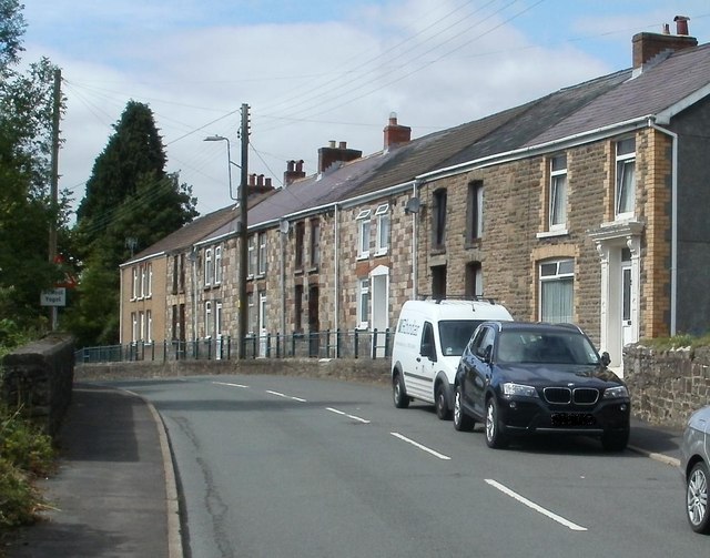
Image: © Jaggery Taken: 29 Aug 2011
Numbers 15 to 29 Heol Tawe are set slightly above road level. Number 29 is nearest the camera. Number 15 is near the School Road junction.
Images are licensed for reuse under creativecommons.org/licenses/by-sa/2.0
Image Location
Latitude
51.799853
Longitude
-3.716993