Cleethorpes 2007 (aerial): 3
Introduction
The photograph on this page of Cleethorpes 2007 (aerial): 3 by John Hardy as part of the Geograph project.
The Geograph project started in 2005 with the aim of publishing, organising and preserving representative images for every square kilometre of Great Britain, Ireland and the Isle of Man.

There are currently over 7.5m images from over 14,400 individuals and you can help contribute to the project by visiting https://www.geograph.org.uk
Cleethorpes 2007 (aerial): 3
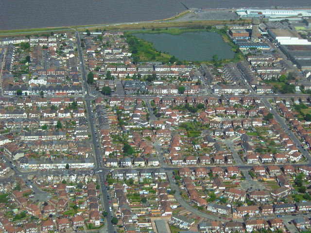
Image: © John Hardy Taken: 8 Aug 2007
The water tower is top right next to the "Fish Pond". Running right left are: - the railway line (on the shoreline); - Grimsby Road (this side of the pond); and - Brereton Avenue (closest to the camera).
Images are licensed for reuse under creativecommons.org/licenses/by-sa/2.0
Image Location
Latitude
53.566448
Longitude
-0.037617