Southwest corner of Balgray Reservoir
Introduction
The photograph on this page of Southwest corner of Balgray Reservoir by Alec MacKinnon as part of the Geograph project.
The Geograph project started in 2005 with the aim of publishing, organising and preserving representative images for every square kilometre of Great Britain, Ireland and the Isle of Man.

There are currently over 7.5m images from over 14,400 individuals and you can help contribute to the project by visiting https://www.geograph.org.uk
Southwest corner of Balgray Reservoir
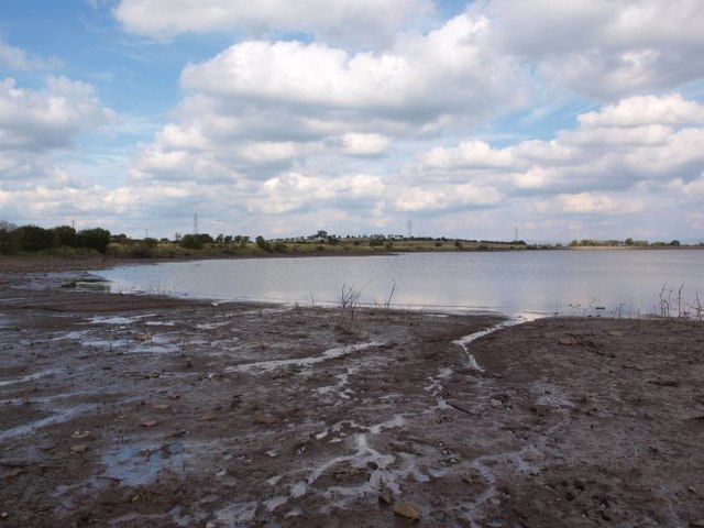
Image: © Alec MacKinnon Taken: 23 Sep 2012
A good path, part of the Dams to Darnley Country Park http://www.damstodarnley.org/ affords an easy walk round the south side of Balgray Reservoir. This picture shows the muddy shoreline and the view across the reservoir from the southwest corner.
Images are licensed for reuse under creativecommons.org/licenses/by-sa/2.0
Image Location
Latitude
55.781705
Longitude
-4.380139