Lochan by Fir Lodge
Introduction
The photograph on this page of Lochan by Fir Lodge by Callum Black as part of the Geograph project.
The Geograph project started in 2005 with the aim of publishing, organising and preserving representative images for every square kilometre of Great Britain, Ireland and the Isle of Man.

There are currently over 7.5m images from over 14,400 individuals and you can help contribute to the project by visiting https://www.geograph.org.uk
Lochan by Fir Lodge
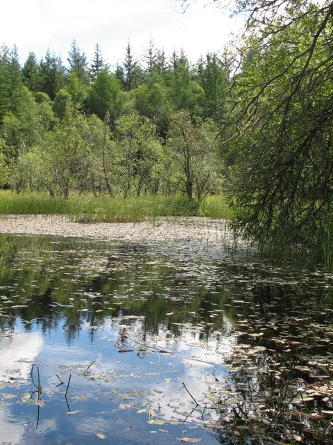
Image: © Callum Black Taken: 29 Jul 2012
The current 1:25000 scale mapping shows this as marshy ground rather than an actual body of water, so perhaps this has been created relatively recently.
Images are licensed for reuse under creativecommons.org/licenses/by-sa/2.0
Image Location
Latitude
57.579535
Longitude
-4.54456