Coventry Canal: Reach east of Camp Hill
Introduction
The photograph on this page of Coventry Canal: Reach east of Camp Hill by Nigel Cox as part of the Geograph project.
The Geograph project started in 2005 with the aim of publishing, organising and preserving representative images for every square kilometre of Great Britain, Ireland and the Isle of Man.

There are currently over 7.5m images from over 14,400 individuals and you can help contribute to the project by visiting https://www.geograph.org.uk
Coventry Canal: Reach east of Camp Hill
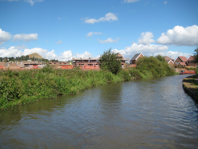
Image: © Nigel Cox Taken: 11 Sep 2012
Redrow Homes are developing the former Midland Quarry site on the west side of the canal here for residential use. Nuneaton's famous landmark, Mount Judd, a granite quarrying slag-heap, is visible above the horizon to the left.
Images are licensed for reuse under creativecommons.org/licenses/by-sa/2.0
Image Location
Latitude
52.527457
Longitude
-1.486267