River Sow from Fairway bridge
Introduction
The photograph on this page of River Sow from Fairway bridge by Tim Marshall as part of the Geograph project.
The Geograph project started in 2005 with the aim of publishing, organising and preserving representative images for every square kilometre of Great Britain, Ireland and the Isle of Man.

There are currently over 7.5m images from over 14,400 individuals and you can help contribute to the project by visiting https://www.geograph.org.uk
River Sow from Fairway bridge
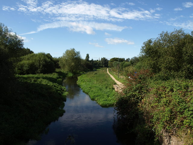
Image: © Tim Marshall Taken: 13 Sep 2012
Looking towards Stafford, the Riverway footpath commences here and follows the river bank towards Stafford.
Images are licensed for reuse under creativecommons.org/licenses/by-sa/2.0
Image Location
Latitude
52.803343
Longitude
-2.099933