Site of St.Paul in the Bail
Introduction
The photograph on this page of Site of St.Paul in the Bail by Richard Croft as part of the Geograph project.
The Geograph project started in 2005 with the aim of publishing, organising and preserving representative images for every square kilometre of Great Britain, Ireland and the Isle of Man.

There are currently over 7.5m images from over 14,400 individuals and you can help contribute to the project by visiting https://www.geograph.org.uk
Site of St.Paul in the Bail
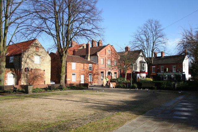
Image: © Richard Croft Taken: 17 Jan 2007
The last church on this site was built in 1877 and demolished in 1971, the first church was described by the Venerable Bede as being built in 628, one of the earliest Christian churches in England. It is now an open space and garden with some exposed Roman archaeology.
Images are licensed for reuse under creativecommons.org/licenses/by-sa/2.0
Image Location
Latitude
53.235532
Longitude
-0.539016