Sumner Road, SE15
Introduction
The photograph on this page of Sumner Road, SE15 by Danny P Robinson as part of the Geograph project.
The Geograph project started in 2005 with the aim of publishing, organising and preserving representative images for every square kilometre of Great Britain, Ireland and the Isle of Man.

There are currently over 7.5m images from over 14,400 individuals and you can help contribute to the project by visiting https://www.geograph.org.uk
Sumner Road, SE15
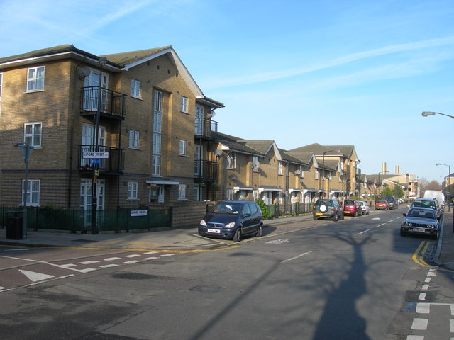
Image: © Danny P Robinson Taken: 14 Jan 2007
At the corner of Lisford Street. These flats and houses have been built on the site of the Sumner Estate, mostly 1930s GLC-style 5 storey tenement blocks, demolished in the early 1990s.
Images are licensed for reuse under creativecommons.org/licenses/by-sa/2.0
Image Location
Latitude
51.475933
Longitude
-0.072765