Ruin by River Crane
Introduction
The photograph on this page of Ruin by River Crane by Robin Webster as part of the Geograph project.
The Geograph project started in 2005 with the aim of publishing, organising and preserving representative images for every square kilometre of Great Britain, Ireland and the Isle of Man.

There are currently over 7.5m images from over 14,400 individuals and you can help contribute to the project by visiting https://www.geograph.org.uk
Ruin by River Crane
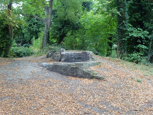
Image: © Robin Webster Taken: 23 Sep 2012
This is probably the remains of a glazing mill, that appears on late Victorian maps, possibly in association with a gravel pit shown to the west of this point. It is further north than the location of the old Bedfont Powder Mills, on a separate but adjacent site.
Images are licensed for reuse under creativecommons.org/licenses/by-sa/2.0
Image Location


Leaflet Map data © OpenStreetMap
Latitude
51.463358
Longitude
-0.402823