St Mary's Church, Bury St Edmunds
Introduction
The photograph on this page of St Mary's Church, Bury St Edmunds by Bob Jones as part of the Geograph project.
The Geograph project started in 2005 with the aim of publishing, organising and preserving representative images for every square kilometre of Great Britain, Ireland and the Isle of Man.

There are currently over 7.5m images from over 14,400 individuals and you can help contribute to the project by visiting https://www.geograph.org.uk
St Mary's Church, Bury St Edmunds
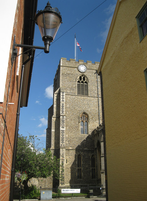
Image: © Bob Jones Taken: 18 Sep 2012
This church claims to be the third largest parish church in England, as well as having the second longest aisle. This view is from Church Walks, a narrow lane that links Crown Street and Bridewell Lane.
Images are licensed for reuse under creativecommons.org/licenses/by-sa/2.0
Image Location
Latitude
52.242447
Longitude
0.712616