Bridleway from Kent to Sussex
Introduction
The photograph on this page of Bridleway from Kent to Sussex by Robin Webster as part of the Geograph project.
The Geograph project started in 2005 with the aim of publishing, organising and preserving representative images for every square kilometre of Great Britain, Ireland and the Isle of Man.

There are currently over 7.5m images from over 14,400 individuals and you can help contribute to the project by visiting https://www.geograph.org.uk
Bridleway from Kent to Sussex
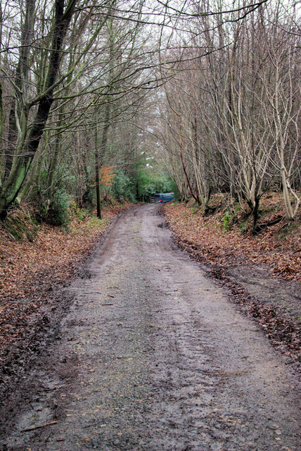
Image: © Robin Webster Taken: 17 Jan 2007
A view towards the end of the bridleway (also a private track) where it meets the A264 at a tricky bend.
Images are licensed for reuse under creativecommons.org/licenses/by-sa/2.0
Image Location
Latitude
51.137722
Longitude
0.058497