Louth Canal path by Riverside Farm
Introduction
The photograph on this page of Louth Canal path by Riverside Farm by Chris as part of the Geograph project.
The Geograph project started in 2005 with the aim of publishing, organising and preserving representative images for every square kilometre of Great Britain, Ireland and the Isle of Man.

There are currently over 7.5m images from over 14,400 individuals and you can help contribute to the project by visiting https://www.geograph.org.uk
Louth Canal path by Riverside Farm
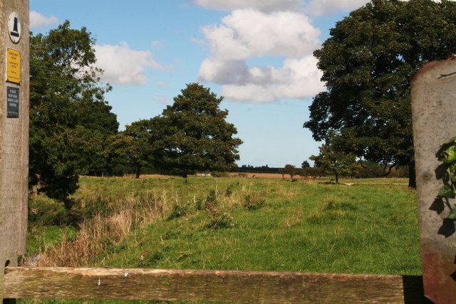
Image: © Chris Taken: 22 Sep 2012
A glimpse of things to come. Note the sloop symbol on the post, to denote it's the canal path. Beyond the stile the path runs through a traditional cow pasture typical of this farm, with the canal on the left and the meandering little River Lud on the right.
Images are licensed for reuse under creativecommons.org/licenses/by-sa/2.0
Image Location
Latitude
53.387497
Longitude
0.035196