Higher Bridge Street joining Blackburn Road
Introduction
The photograph on this page of Higher Bridge Street joining Blackburn Road by Bill Boaden as part of the Geograph project.
The Geograph project started in 2005 with the aim of publishing, organising and preserving representative images for every square kilometre of Great Britain, Ireland and the Isle of Man.

There are currently over 7.5m images from over 14,400 individuals and you can help contribute to the project by visiting https://www.geograph.org.uk
Higher Bridge Street joining Blackburn Road
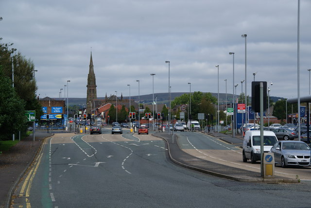
Image: © Bill Boaden Taken: 15 Sep 2012
Part of the gyratory system for getting traffic from St Peter's Way round the town centre.
Images are licensed for reuse under creativecommons.org/licenses/by-sa/2.0
Image Location
Latitude
53.586531
Longitude
-2.430028