The Gogo Burn
Introduction
The photograph on this page of The Gogo Burn by Lairich Rig as part of the Geograph project.
The Geograph project started in 2005 with the aim of publishing, organising and preserving representative images for every square kilometre of Great Britain, Ireland and the Isle of Man.

There are currently over 7.5m images from over 14,400 individuals and you can help contribute to the project by visiting https://www.geograph.org.uk
The Gogo Burn
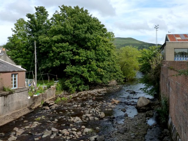
Image: © Lairich Rig Taken: 3 Sep 2012
(Or Gogo Water) The photograph was taken from the point where the A78 (Main Street / Irvine Road) crosses above the burn. The summit area visible in the background is centred on Image, just to the north of Image
Images are licensed for reuse under creativecommons.org/licenses/by-sa/2.0
Image Location
Latitude
55.792684
Longitude
-4.863906