Flat Lode Tail
Introduction
The photograph on this page of Flat Lode Tail by Ashley Dace as part of the Geograph project.
The Geograph project started in 2005 with the aim of publishing, organising and preserving representative images for every square kilometre of Great Britain, Ireland and the Isle of Man.

There are currently over 7.5m images from over 14,400 individuals and you can help contribute to the project by visiting https://www.geograph.org.uk
Flat Lode Tail
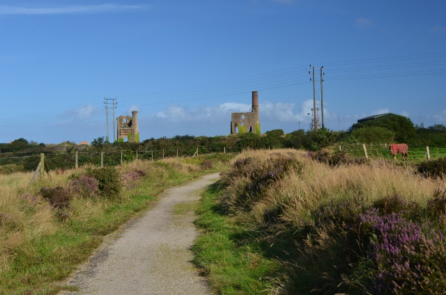
Image: © Ashley Dace Taken: 4 Sep 2012
This path leads to New Cook's engine houses. There are many former tramways in the area and the paths usually follow them.
Images are licensed for reuse under creativecommons.org/licenses/by-sa/2.0
Image Location
Latitude
50.218525
Longitude
-5.276657