Approaching Egham station
Introduction
The photograph on this page of Approaching Egham station by Alan Hunt as part of the Geograph project.
The Geograph project started in 2005 with the aim of publishing, organising and preserving representative images for every square kilometre of Great Britain, Ireland and the Isle of Man.

There are currently over 7.5m images from over 14,400 individuals and you can help contribute to the project by visiting https://www.geograph.org.uk
Approaching Egham station
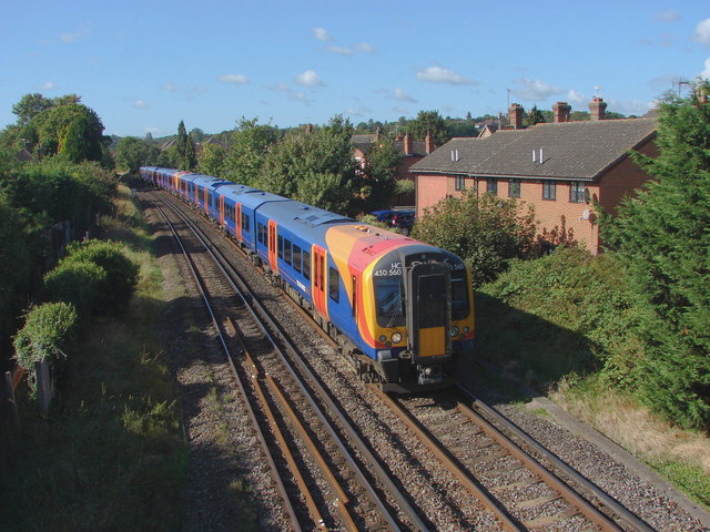
Image: © Alan Hunt Taken: 19 Sep 2012
The railway line from the bridge on the footpath from Whitehall Lane to the Ripley Springs area of Egham. The train has just come from Virginia Water, next stop Egham.
Images are licensed for reuse under creativecommons.org/licenses/by-sa/2.0
Image Location
Latitude
51.427245
Longitude
-0.550947