Grange Lane, near Coston
Introduction
The photograph on this page of Grange Lane, near Coston by Oliver Bell as part of the Geograph project.
The Geograph project started in 2005 with the aim of publishing, organising and preserving representative images for every square kilometre of Great Britain, Ireland and the Isle of Man.

There are currently over 7.5m images from over 14,400 individuals and you can help contribute to the project by visiting https://www.geograph.org.uk
Grange Lane, near Coston
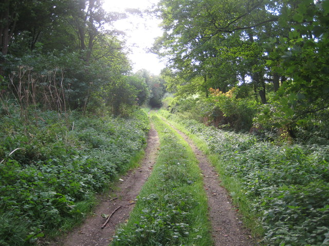
Image: © Oliver Bell Taken: 19 Sep 2012
This unsurfaced road becomes a holloway before rising back up to field level and joining the tarmac road to Hall Farm at Image
Images are licensed for reuse under creativecommons.org/licenses/by-sa/2.0
Image Location
Latitude
52.789352
Longitude
-0.742341