Acton: Bollo Bridge Road
Introduction
The photograph on this page of Acton: Bollo Bridge Road by Dr Neil Clifton as part of the Geograph project.
The Geograph project started in 2005 with the aim of publishing, organising and preserving representative images for every square kilometre of Great Britain, Ireland and the Isle of Man.

There are currently over 7.5m images from over 14,400 individuals and you can help contribute to the project by visiting https://www.geograph.org.uk
Acton: Bollo Bridge Road
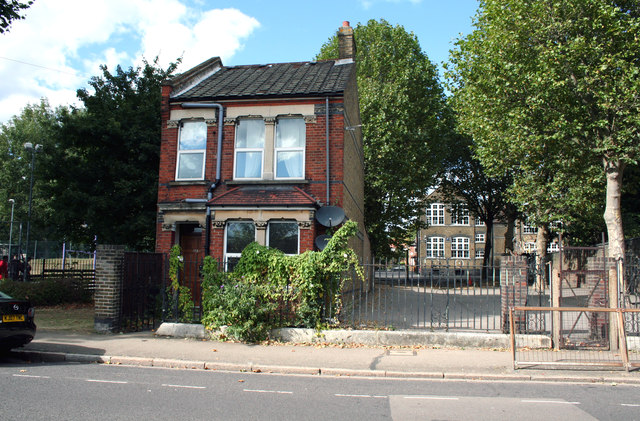
Image: © Dr Neil Clifton Taken: 19 Sep 2012
All is changed around here and it is hard to find anything that has not been built recently, but this (presumably schoolkeeper's) house and the school behind it are from an earlier period.
Images are licensed for reuse under creativecommons.org/licenses/by-sa/2.0
Image Location
Latitude
51.501277
Longitude
-0.273843