Ruddington Lane site
Introduction
The photograph on this page of Ruddington Lane site by Alan Murray-Rust as part of the Geograph project.
The Geograph project started in 2005 with the aim of publishing, organising and preserving representative images for every square kilometre of Great Britain, Ireland and the Isle of Man.

There are currently over 7.5m images from over 14,400 individuals and you can help contribute to the project by visiting https://www.geograph.org.uk
Ruddington Lane site
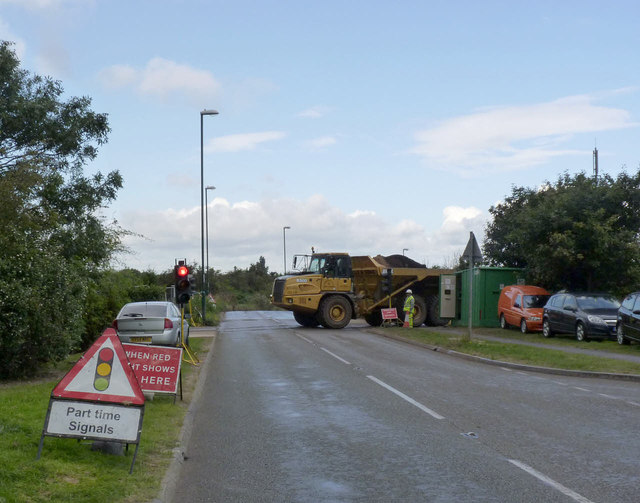
Image: © Alan Murray-Rust Taken: 19 Sep 2012
Earthmovers are shifting spoil from the former railway embankment http://www.geograph.org.uk/photo/3140175 to the new alignment between Silverdale and Clifton http://www.geograph.org.uk/photo/3140181 . Traffic lights control movement across Ruddington Lane.
Images are licensed for reuse under creativecommons.org/licenses/by-sa/2.0
Image Location
Latitude
52.914211
Longitude
-1.158256