Fields at the southern edge of Thurcroft
Introduction
The photograph on this page of Fields at the southern edge of Thurcroft by Andrew Hill as part of the Geograph project.
The Geograph project started in 2005 with the aim of publishing, organising and preserving representative images for every square kilometre of Great Britain, Ireland and the Isle of Man.

There are currently over 7.5m images from over 14,400 individuals and you can help contribute to the project by visiting https://www.geograph.org.uk
Fields at the southern edge of Thurcroft
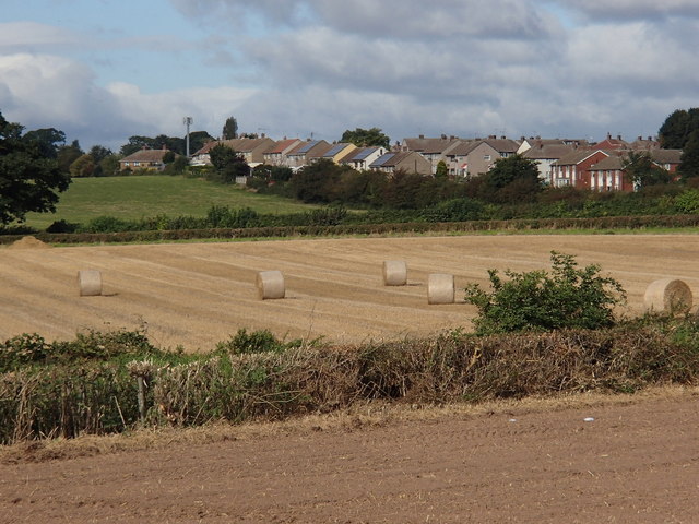
Image: © Andrew Hill Taken: 19 Sep 2012
View across the southern edge of the large former mining village.
Images are licensed for reuse under creativecommons.org/licenses/by-sa/2.0
Image Location
Latitude
53.388228
Longitude
-1.255542