Crossroads
Introduction
The photograph on this page of Crossroads by Nigel Brown as part of the Geograph project.
The Geograph project started in 2005 with the aim of publishing, organising and preserving representative images for every square kilometre of Great Britain, Ireland and the Isle of Man.

There are currently over 7.5m images from over 14,400 individuals and you can help contribute to the project by visiting https://www.geograph.org.uk
Crossroads
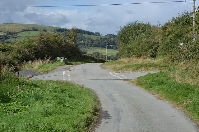
Image: © Nigel Brown Taken: 18 Sep 2012
On the road to Llidiartywaun. The road off left connects with the Tylwch to Pantydwr road; being narrow, with sharp corners and few passing places, heavy vehicles are discouraged. The road off right gives access to a few hill farms.
Images are licensed for reuse under creativecommons.org/licenses/by-sa/2.0
Image Location
Latitude
52.401398
Longitude
-3.469348