Porchester Hall, London W2
Introduction
The photograph on this page of Porchester Hall, London W2 by Jaggery as part of the Geograph project.
The Geograph project started in 2005 with the aim of publishing, organising and preserving representative images for every square kilometre of Great Britain, Ireland and the Isle of Man.

There are currently over 7.5m images from over 14,400 individuals and you can help contribute to the project by visiting https://www.geograph.org.uk
Porchester Hall, London W2
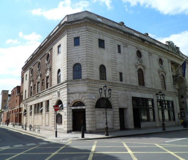
Image: © Jaggery Taken: 13 May 2012
This is the Queensway and Porchester Road corner of the Porchester Hall, which opened in 1929 alongside the Turkish Baths and Paddington Library.
Images are licensed for reuse under creativecommons.org/licenses/by-sa/2.0
Image Location
Latitude
51.517165
Longitude
-0.188494