Floods at Llwyntidmon
Introduction
The photograph on this page of Floods at Llwyntidmon by David Medcalf as part of the Geograph project.
The Geograph project started in 2005 with the aim of publishing, organising and preserving representative images for every square kilometre of Great Britain, Ireland and the Isle of Man.

There are currently over 7.5m images from over 14,400 individuals and you can help contribute to the project by visiting https://www.geograph.org.uk
Floods at Llwyntidmon
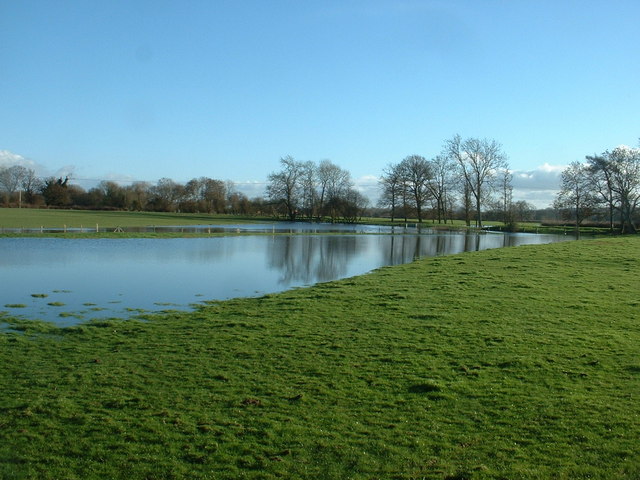
Image: © David Medcalf Taken: 10 Jan 2007
The stream is some distance away - these are just waterlogged fields, though no doubt the stream contributes to that.
Images are licensed for reuse under creativecommons.org/licenses/by-sa/2.0
Image Location
Latitude
52.780136
Longitude
-3.049152