Malvern Link
Introduction
The photograph on this page of Malvern Link by Bob Embleton as part of the Geograph project.
The Geograph project started in 2005 with the aim of publishing, organising and preserving representative images for every square kilometre of Great Britain, Ireland and the Isle of Man.

There are currently over 7.5m images from over 14,400 individuals and you can help contribute to the project by visiting https://www.geograph.org.uk
Malvern Link
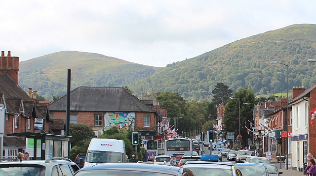
Image: © Bob Embleton Taken: 15 Sep 2012
Saturday morning traffic chaos on the Worcester Road. The two hills in the background are Worcestershire Beacon on the left and North Hill on the right.
Images are licensed for reuse under creativecommons.org/licenses/by-sa/2.0
Image Location
Latitude
52.127365
Longitude
-2.315479