Pumpkin Park
Introduction
The photograph on this page of Pumpkin Park by Rob Farrow as part of the Geograph project.
The Geograph project started in 2005 with the aim of publishing, organising and preserving representative images for every square kilometre of Great Britain, Ireland and the Isle of Man.

There are currently over 7.5m images from over 14,400 individuals and you can help contribute to the project by visiting https://www.geograph.org.uk
Pumpkin Park
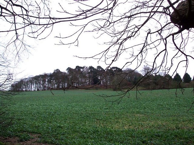
Image: © Rob Farrow Taken: 9 Jan 2007
This little wood on rising ground to the southwest of Pinfoldpond is called "Pumpkin Park". The photo was taken from roughly opposite Image
Images are licensed for reuse under creativecommons.org/licenses/by-sa/2.0
Image Location
Latitude
51.982878
Longitude
-0.636182