
Buell Well - Danbury Common
Introduction
The photograph on this page of Buell Well - Danbury Common by Malcolm Reid as part of the Geograph project.
The Geograph project started in 2005 with the aim of publishing, organising and preserving representative images for every square kilometre of Great Britain, Ireland and the Isle of Man.

There are currently over 7.5m images from over 14,400 individuals and you can help contribute to the project by visiting https://www.geograph.org.uk
Buell Well - Danbury Common
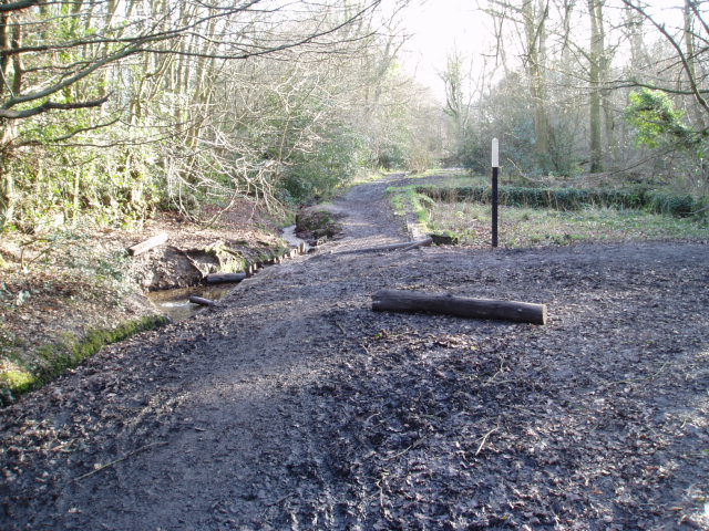
Image: © Malcolm Reid Taken: 15 Jan 2007
At the side of the footpath which runs along the eastern edge of Danbury Common is Buell Well. This provided the drinking water for Danbury in the 18th and early 19th Centuries. On the right hand side of the photograph the foundations of the old pumping station are still visible. On the left hand side of the photograph it is just possible to see the pipe from the well, from which spring water gushes all year round, even in drought conditions. (If you a fancy a drink on a hot summer's day, do not take water from the pool below the pipe as this is mixed with ditch water!)
Images are licensed for reuse under creativecommons.org/licenses/by-sa/2.0
Image Location

Latitude
51.711323
Longitude
0.580384