Cromwell Street
Introduction
The photograph on this page of Cromwell Street by John Sutton as part of the Geograph project.
The Geograph project started in 2005 with the aim of publishing, organising and preserving representative images for every square kilometre of Great Britain, Ireland and the Isle of Man.

There are currently over 7.5m images from over 14,400 individuals and you can help contribute to the project by visiting https://www.geograph.org.uk
Cromwell Street
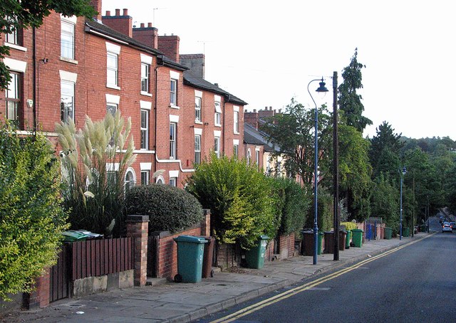
Image: © John Sutton Taken: 14 Sep 2012
Part of the inner suburbs built when Nottingham expanded from its mediaeval core after the 1845 Enclosure Act, these pleasingly-proportioned houses face the General Cemetery.
Images are licensed for reuse under creativecommons.org/licenses/by-sa/2.0
Image Location
Latitude
52.957118
Longitude
-1.162038