The River Lagan at Donaghcloney (2)
Introduction
The photograph on this page of The River Lagan at Donaghcloney (2) by Albert Bridge as part of the Geograph project.
The Geograph project started in 2005 with the aim of publishing, organising and preserving representative images for every square kilometre of Great Britain, Ireland and the Isle of Man.

There are currently over 7.5m images from over 14,400 individuals and you can help contribute to the project by visiting https://www.geograph.org.uk
The River Lagan at Donaghcloney (2)
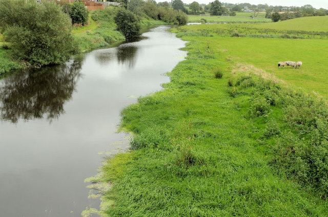
Image: © Albert Bridge Taken: 15 Sep 2012
See Image (March 2007). The Lagan, looking upstream from this bridge Image, in the direction of Dromore Image Although much of the surrounding land is undulating, this stretch of the Lagan takes the easy way and follows a meandering course through the relatively flatter parts of the countryside – notice the bend at top right.
Images are licensed for reuse under creativecommons.org/licenses/by-sa/2.0
Image Location
Latitude
54.415489
Longitude
-6.255987