Locking village hall
Introduction
The photograph on this page of Locking village hall by Jaggery as part of the Geograph project.
The Geograph project started in 2005 with the aim of publishing, organising and preserving representative images for every square kilometre of Great Britain, Ireland and the Isle of Man.

There are currently over 7.5m images from over 14,400 individuals and you can help contribute to the project by visiting https://www.geograph.org.uk
Locking village hall
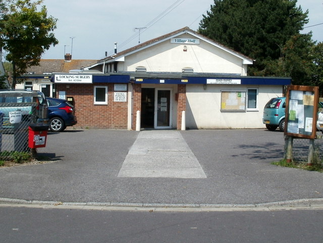
Image: © Jaggery Taken: 27 Jul 2011
Facilities include a meeting hall and kitchen. There is an on-site car park. An outside play area for children adjoins the village hall.
Images are licensed for reuse under creativecommons.org/licenses/by-sa/2.0
Image Location
Latitude
51.333627
Longitude
-2.914737