Corner of Elm Tree Road and Elm Grove, Locking
Introduction
The photograph on this page of Corner of Elm Tree Road and Elm Grove, Locking by Jaggery as part of the Geograph project.
The Geograph project started in 2005 with the aim of publishing, organising and preserving representative images for every square kilometre of Great Britain, Ireland and the Isle of Man.

There are currently over 7.5m images from over 14,400 individuals and you can help contribute to the project by visiting https://www.geograph.org.uk
Corner of Elm Tree Road and Elm Grove, Locking
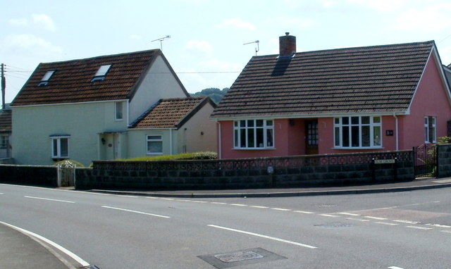
Image: © Jaggery Taken: 27 Jul 2011
The houses are on Elm Tree Road. The Elm Grove name sign on the right is at the edge of houses in a cul-de-sac on the south side of Elm Tree Road.
Images are licensed for reuse under creativecommons.org/licenses/by-sa/2.0
Image Location
Latitude
51.334741
Longitude
-2.921649