The Iron Bridge leading into Wooler
Introduction
The photograph on this page of The Iron Bridge leading into Wooler by Tim Heaton as part of the Geograph project.
The Geograph project started in 2005 with the aim of publishing, organising and preserving representative images for every square kilometre of Great Britain, Ireland and the Isle of Man.

There are currently over 7.5m images from over 14,400 individuals and you can help contribute to the project by visiting https://www.geograph.org.uk
The Iron Bridge leading into Wooler
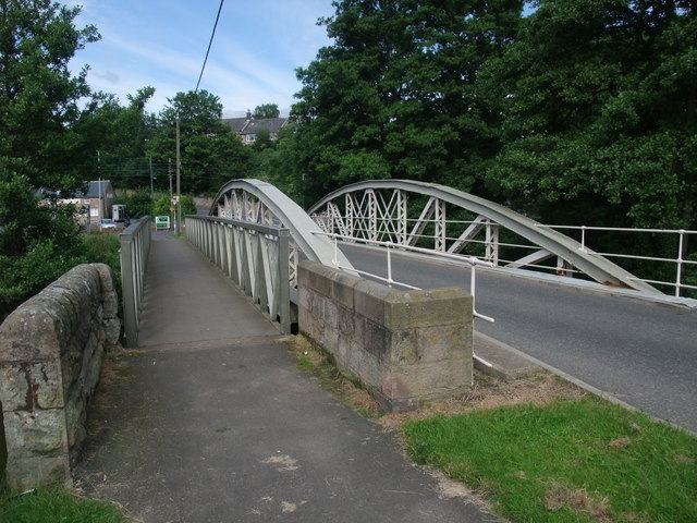
Image: © Tim Heaton Taken: 17 Jul 2012
The bridge collapsed during the 'Great Borders Flood' of 1948
Images are licensed for reuse under creativecommons.org/licenses/by-sa/2.0
Image Location
Latitude
55.547595
Longitude
-2.010275