Road to Llangybi nears the eastern edge of Coed-y-paen
Introduction
The photograph on this page of Road to Llangybi nears the eastern edge of Coed-y-paen by Jaggery as part of the Geograph project.
The Geograph project started in 2005 with the aim of publishing, organising and preserving representative images for every square kilometre of Great Britain, Ireland and the Isle of Man.

There are currently over 7.5m images from over 14,400 individuals and you can help contribute to the project by visiting https://www.geograph.org.uk
Road to Llangybi nears the eastern edge of Coed-y-paen
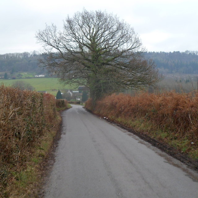
Image: © Jaggery Taken: 6 Feb 2012
Though the main residential part of Coed-y-paen is a nearly a kilometre behind the camera, the boundary marking the eastern edge of the village is ahead, beyond the tree.
Images are licensed for reuse under creativecommons.org/licenses/by-sa/2.0
Image Location
Latitude
51.677881
Longitude
-2.953477