Pasture on Glyndwr's Way
Introduction
The photograph on this page of Pasture on Glyndwr's Way by Derek Harper as part of the Geograph project.
The Geograph project started in 2005 with the aim of publishing, organising and preserving representative images for every square kilometre of Great Britain, Ireland and the Isle of Man.

There are currently over 7.5m images from over 14,400 individuals and you can help contribute to the project by visiting https://www.geograph.org.uk
Pasture on Glyndwr's Way
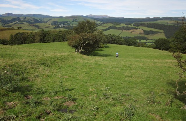
Image: © Derek Harper Taken: 8 Sep 2012
A view that fits in between Image and Image, showing the truncated old field boundary. Glyndwr's Way follows a bridleway the line of which should cut across the field to the left, but my wife wasn't too keen on the cattle visible in that direction and was giving them a wide berth. Cader Idris is on the horizon in the centre.
Images are licensed for reuse under creativecommons.org/licenses/by-sa/2.0
Image Location
Latitude
52.626999
Longitude
-3.714919