Level Crossing near Sunblest Flour Mill
Introduction
The photograph on this page of Level Crossing near Sunblest Flour Mill by David Anstiss as part of the Geograph project.
The Geograph project started in 2005 with the aim of publishing, organising and preserving representative images for every square kilometre of Great Britain, Ireland and the Isle of Man.

There are currently over 7.5m images from over 14,400 individuals and you can help contribute to the project by visiting https://www.geograph.org.uk
Level Crossing near Sunblest Flour Mill
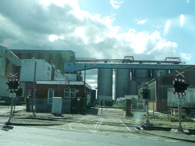
Image: © David Anstiss Taken: 11 Sep 2012
As seen from Tilbury Dock Road. Some of the large flour mill silos are seen in the background.
Images are licensed for reuse under creativecommons.org/licenses/by-sa/2.0
Image Location
Latitude
51.467205
Longitude
0.333324